 Paths & Paws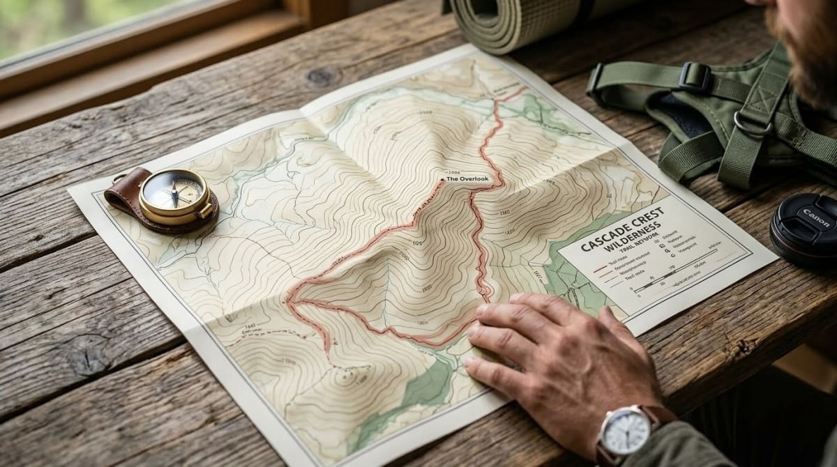
Most hikers judge a route's difficulty by checking total elevation gain against the mileage. That average lies. It hides the ugly truth of isolated sharp pitches. A hike might look completely fine on a digital profile but conceal a mile-long thirty percent rock scramble buried right in the middle of the woods where we least expect it.
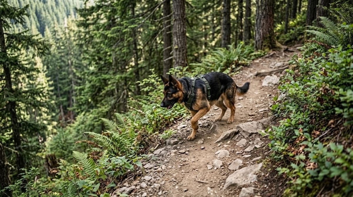
We learned to read topographic contour lines to hunt down the true maximum grade before we ever load the truck. Jasper is a 95-pound German Shepherd. Gravity thrashes his joints on descents. We rely on the ten percent rule because it keeps him safe. Grades above fifteen percent force large dogs into awkward stride mechanics. We mapped our regular routes in the Cascades and tracked Jasper's recovery times against the trail gradients. We found that a two-mile hike with a twenty percent slope required double the rest time compared to a four-mile hike on an eight percent incline.
Key Takeaways
- 1Trail steepness hides in isolated pitches that a total elevation average never reveals, so we count contour lines instead of trusting the profile chart
- 2A 2025 study in Frontiers in Veterinary Science found decline walking spikes activity in the supraspinatus and deltoideus, the shoulder muscles that brake a dog's descent
- 3Ten percent is our sustained target grade for large breeds, with short pitches up to twenty-five percent tolerable if they stay brief
- 4On loop trails we always climb the steeper side and descend the gradual one, since rear legs drive the ascent while front shoulders absorb the descent
What Trail Gradient Actually Means
Translating mountains onto flat paper requires a bit of geometry. Every point on a given line sits at the exact same elevation. Space between adjacent bands represents a fixed vertical jump. Geologists call this the contour interval. The legend prints this. The USGS standardizes most hiking maps with forty-foot intervals.
When lines sit far apart the ground is essentially flat. When lines bunch tightly together the terrain forms a cliff. Gradient measures the angle of that dirt by comparing the vertical climb to the horizontal distance traveled. Hikers figure this as a percentage. A one hundred percent grade is a forty-five-degree angle. The path climbs one foot for every single foot of forward progress. Human paths rarely beat fifteen percent. Paved roadways top out around eight percent.
We count the lines over a set distance to nail down the math. Divide the vertical jump by the horizontal distance. Math prevents us hauling exhausted dogs up impossible talus fields. We do the math in feet.
Index contour lines make the counting go faster. Every fifth line prints heavier and includes an elevation number. If the map uses a standard forty-foot interval the bold index lines mark exactly two hundred feet of vertical elevation change. This simple visual setup allows us to quickly scan any proposed route and count the thick lines to accurately estimate massive mountain climbs long before leaving the house on a Saturday morning. A half-mile section crossing five index lines climbs one thousand feet. That hits thirty-eight percent.
How to Calculate Grade from Contour Lines
We start with a map and a calculator. Tracking both vertical and horizontal feet is the whole game. We find the contour interval by checking the map legend. Assume forty feet for now. We measure the map distance of a straight path crossing multiple lines. We use the printed scale to get the horizontal distance in feet where half a mile equals 2640 feet.
We count the thin contour lines crossed. Then we multiply that count by the interval. If a section crosses five lines we multiply five by forty to get two hundred feet of vertical gain. We divide that gain by the horizontal distance. We divide 200 by 2640 to get 0.075. Move the decimal two places right and we see a 7.5 percent grade. That sits in the safe window. When scanning the gap between index lines to hunt for hidden spikes we often notice that lines bunching up in the middle of a long gradual stretch mean that a brief unnamed pitch might suddenly hit twenty percent.
Why Sharp Declines Break Dogs Down
Grinding uphill rarely poses the biggest threat. Downhill miles actually cause the mechanical damage. Large breeds carry sixty percent of their static body weight on their front limbs. Gravity violently shifts even more of that mass forward onto the shoulder assembly when they walk downhill.
If a route has a vertical loop we always hike up the climbing side and walk down the gradual side. This approach saves the front assembly. We found we can push a dog much harder on a punchy ascent without risking joint trauma because the rear legs act as the primary drive engine for generating upward momentum, which lines up with the mileage caps in our training timeline for building up to longer hikes.
A 2025 study in Frontiers in Veterinary Science looked at canine shoulder muscle activity on varying slopes and the researchers recorded significant increases in both average supraspinatus muscle activity and deltoideus activity during decline walking. These muscles work as biological brakes to stabilize the joint. A nasty drop forces these tissues to absorb the dog's body mass plus the compounding force of gravity with every single footfall.
We saw this exact failure pattern with Jasper on Mount Si. The main route is a sustained fifteen percent grade for three miles. The climb tired his lungs. The descent wrecked his shoulders. He showed distinct stiffness the following morning. We now strictly cap his sustained downhill grades at ten percent, and lean on our 48-hour recovery routine any time we misjudge a route and push him past it.
Frequently Asked Questions
Kelly brings an engineering mindset to dog hiking gear. After thousands of miles with Jasper testing every harness, pack, and boot on the market, he knows what holds up and what fails.